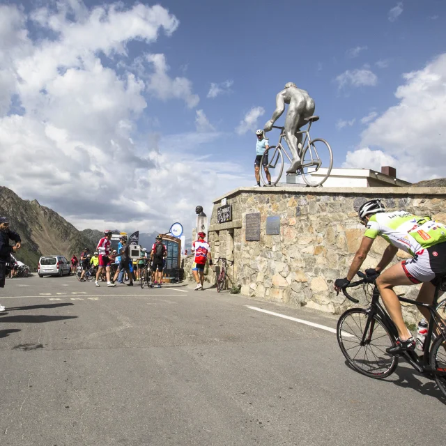
Cycling to the top of the Col du Tourmalet, Barèges side ©Agence Touristique des Vallées de Gavarnie - Pierre Meyer
|
Col Du Tourmalet
|
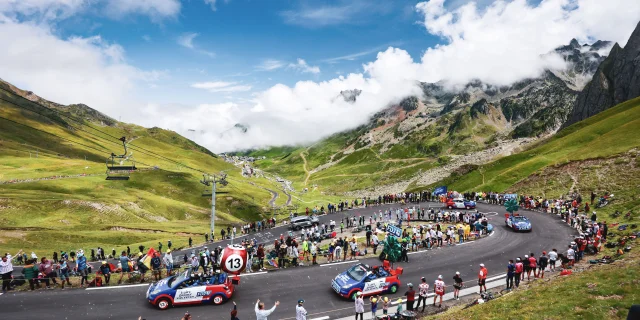
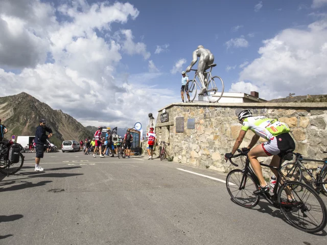
The Col du Tourmalet is an almost unmissable stage in the Tour de France every year. The peloton crosses it almost 85 times, and it shares a history of historic performance and devotion.
Cycling to the top of the Col du Tourmalet, Barèges side ©Agence Touristique des Vallées de Gavarnie - Pierre Meyer
|
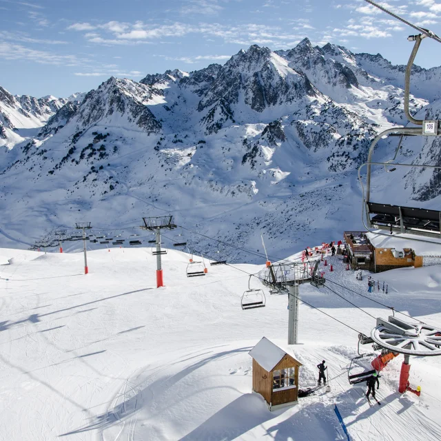
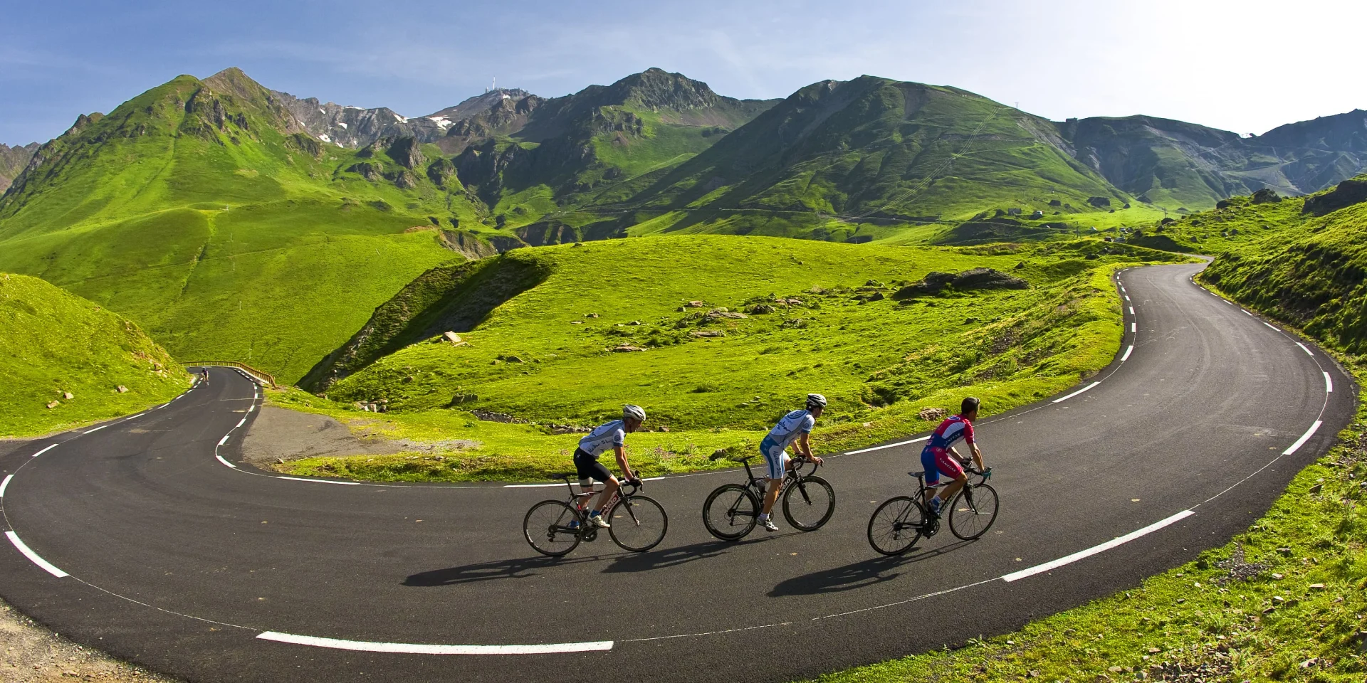
At 2,115m, it offers spectacular views over the Bastan Valley to the west and the Gripp Valley to the east. At the foot of the Pic du Midi, it is one of the Tour de France’s legendary passes.
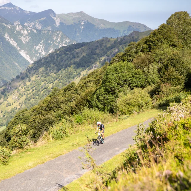
A very long climb.
Length: 22.5km
Difference in altitude: 1268m (start altitude: 660m – finish altitude: 2115m)
Average gradient: 6% (9% max)
A panoramic view of the Toy region.
Length: 19km
Difference in altitude: 1404m (start altitude: 711m – finish altitude: 2115m)
Average gradient: 7.4% (10.2% max)
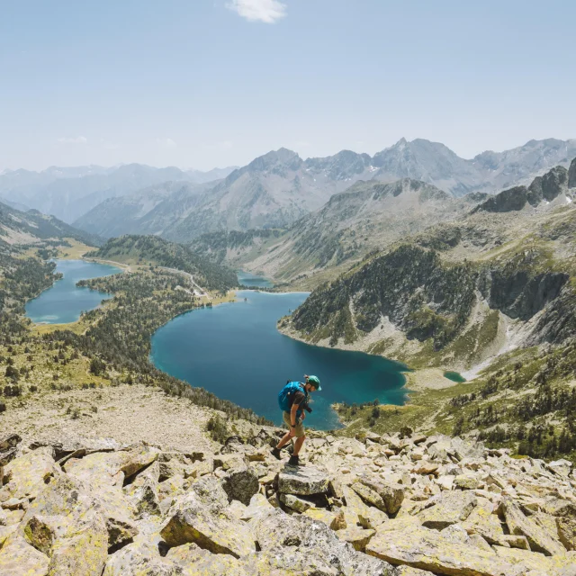
The Tourmalet can be climbed not just by bike: a number of hiking trails cross its paths and allow you to reach the summit. After your ascent, all you have to do is enjoy the spectacular panorama at 2115m altitude.
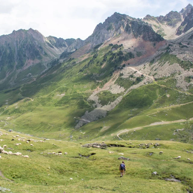
Walking with sheep, pastoralism at Tourmalet
|
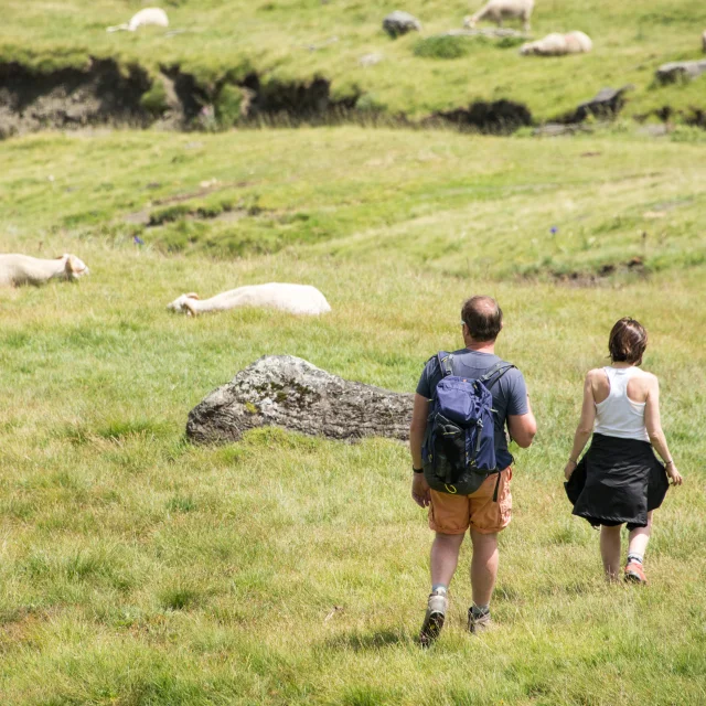
Walking with sheep, pastoralism at Tourmalet
|
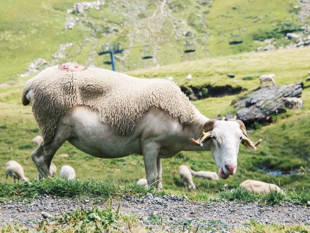
Sheep, pastoralism in the mountains
|
Take a walk around La Mongie and you’ll see sheep and cattle roaming freely, enjoying the vast high altitude pastures. Centuries of pastoralism have carved out these landscapes, which are still sometimes crossed by herds of llamas.
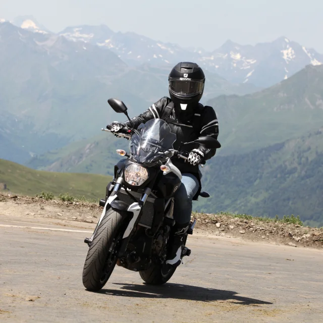
A must-do loop for cyclists, the Col du Tourmalet is just as popular with motorised enthusiasts. The bends can be traversed by motorbike, sports car or vintage car in an exceptional setting.