©

View of the Pyrenees from the Pic du Midi de Bigorre ©My Destination

|

My Destination

Tourmalet Pic du Midi

Mythical mountain passes and starry skies

Two names are enough to get the heart racing: the Col du Tourmalet and the Pic du Midi de Bigorre. Above Bagnères-de-Bigorre, the Haute Bigorre has a generous landscape of mountain pastures, lakes, cool valleys and mountain roads that cyclists dream of tackling. In winter, these slopes become a ski area ; in summer, they switch to downhill and enduro mode, with à la carte mountain bike itineraries. After the effort, the spa town resets the clock, before taking one last look towards the peaks… and towards the night, preserved by one of the most beautiful reserves of starry skies in Europe.

Pic du Midi

The Pic du Midi de Bigorre

The gateway to heaven

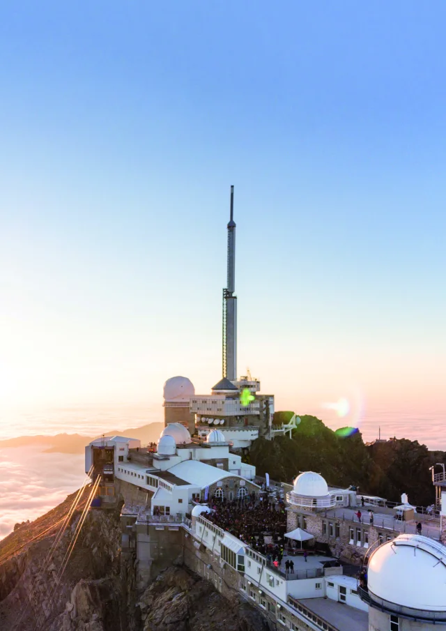
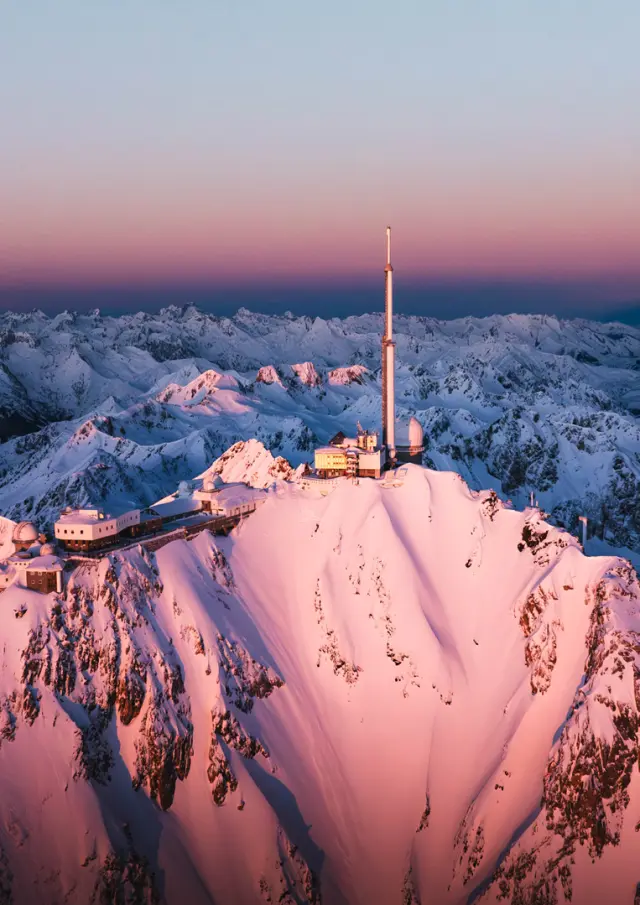
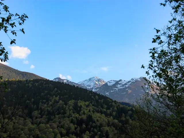
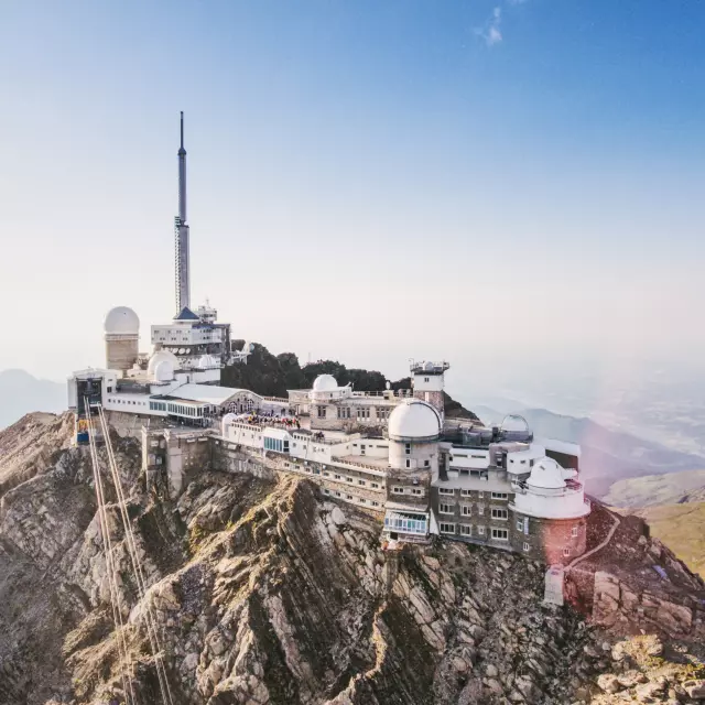
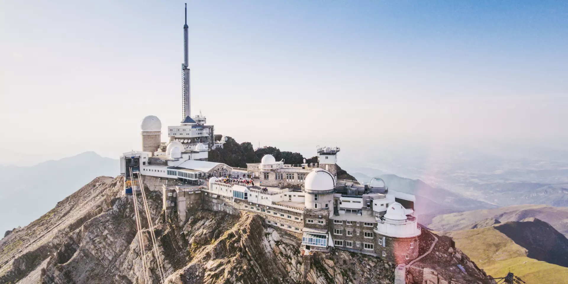
The Pic du Midi is more than just a summit. It sets the scene: terraces, observatory, sharp light, rare silence.

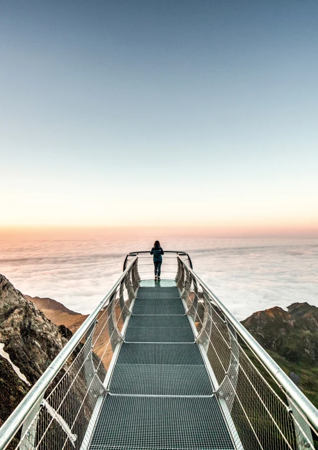
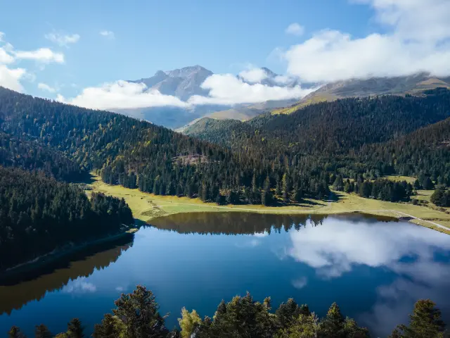
From La Mongie, the cable car takes you quickly up the mountain. Up there, the panorama stretches far and wide: ridges, valleys, the peaks of Aragon. The observatory recounts the scientific adventure, the sun, the instruments and the men who built this site. Then comes the pontoon in the sky: one step, the void beneath your feet and that clear thrill that marks the visit.

All around, the International Dark Sky Reserve reminds us that night is part of our heritage. When the sun goes down, the sky takes over and creates the most beautiful spectacle.

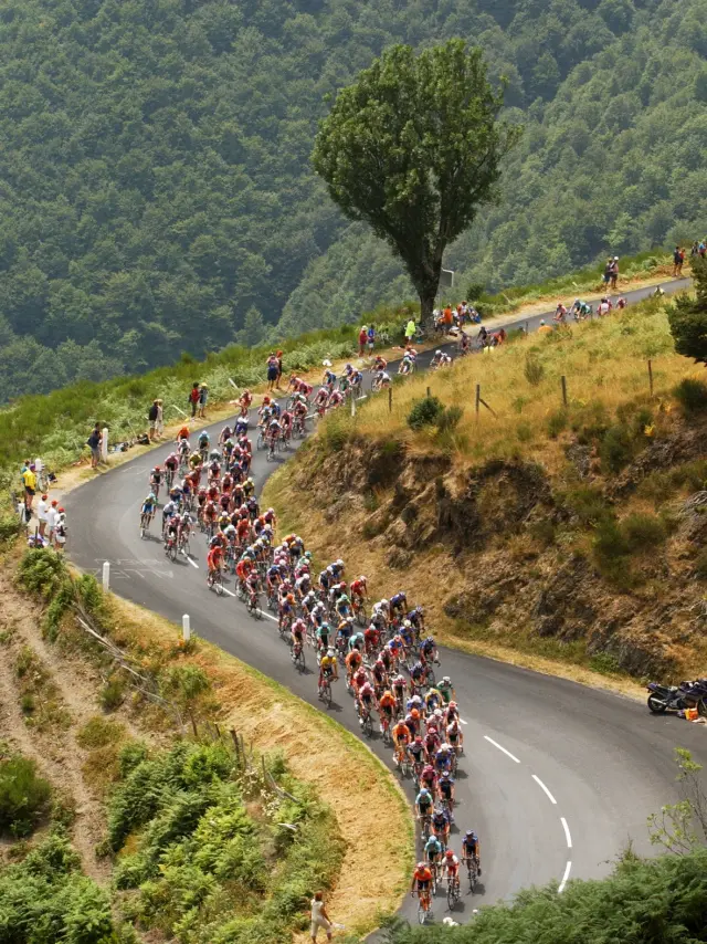
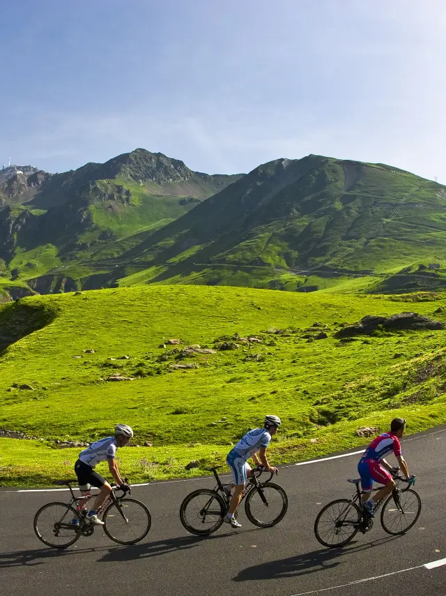
In summer, the summit also offers a rare option: mountain biking down from the Pic. You start out above the rest of the world, with rocks, hairpins, harsh light and then the valley closing in. A demanding route, reserved for mountain bikers who are very comfortable on mountain terrain; full-face helmet and solid protection recommended.

Focus on...

The Tourmalet pass

the giant of the Tour de France

At 2,115 m, the Tourmalet marks a turning point: Campan on one side, Barèges on the other. Sports legend has been written since 1910 with the Tour de France, but the story begins much earlier. In the XVIIᵉ century, Madame de Maintenon chose this route to reach Barèges and avoid a gorge road reputed to be dangerous.

Today, the climb concentrates the essentials: shortness of breath, legs warming up, concentration, then the summit all at once, with the crisper air and the ridges catching your eye. A photo near Octave, a short break, and a useful stop: the Maison du Tourmalet, where you can delve into the history of the pass, understand the Tour, read the landscape… and look up at the starry sky, protected here as part of our heritage.

The descent requires vigilance: herds, cars, cyclists – everyone shares the same strip of asphalt.

What to do

What to do around Le Tourmalet

Tour de France

The great passes of the Tour de France

There are three signature climbs: Aspin, Hourquette d’Ancizan and Tourmalet. Three climbs, three atmospheres, all with the same promise: a horizon that widens around every bend.

Loops to compose

  • Campan → Hourquette d’Ancizan → Aspin → return: a very complete ‘collective’ day.
  • Bagnères → Tourmalet → Luz-Saint-Sauveur → return via secondary roads: a grand tour with a mountain feel.
full nature

Hiking and pastoralism

The mountains here retain their pastoral spirit. The valleys of Campan, Gripp and Lesponne alternate between grassy slopes, forests and summer pastures. You’ll come across herds of cattle, their bells ringing in the silence and the path leading to a lake or lookout point.

Easy walks

  • Around Payolle: gentle loops through fir trees, pastures and shepherds.
  • Mid-altitude forests and clearings: quiet routes, perfect for a family outing.

Moderate walks

  • Lac Bleu de Lesponne: a classic with a spectacular finish.
  • Casque du Lhéris: gradual ascent, ridge atmosphere and sweeping views.

For the more experienced

  • Massif de l’Arbizon: sustained effort, panoramic views as a reward.
  • Nearby Néouvielle sector: wilder routes, mineral light, numerous lakes.

Field tip: a mountain leader is a real help, especially for reading the terrain, choosing the right loop and understanding the fauna and plants.