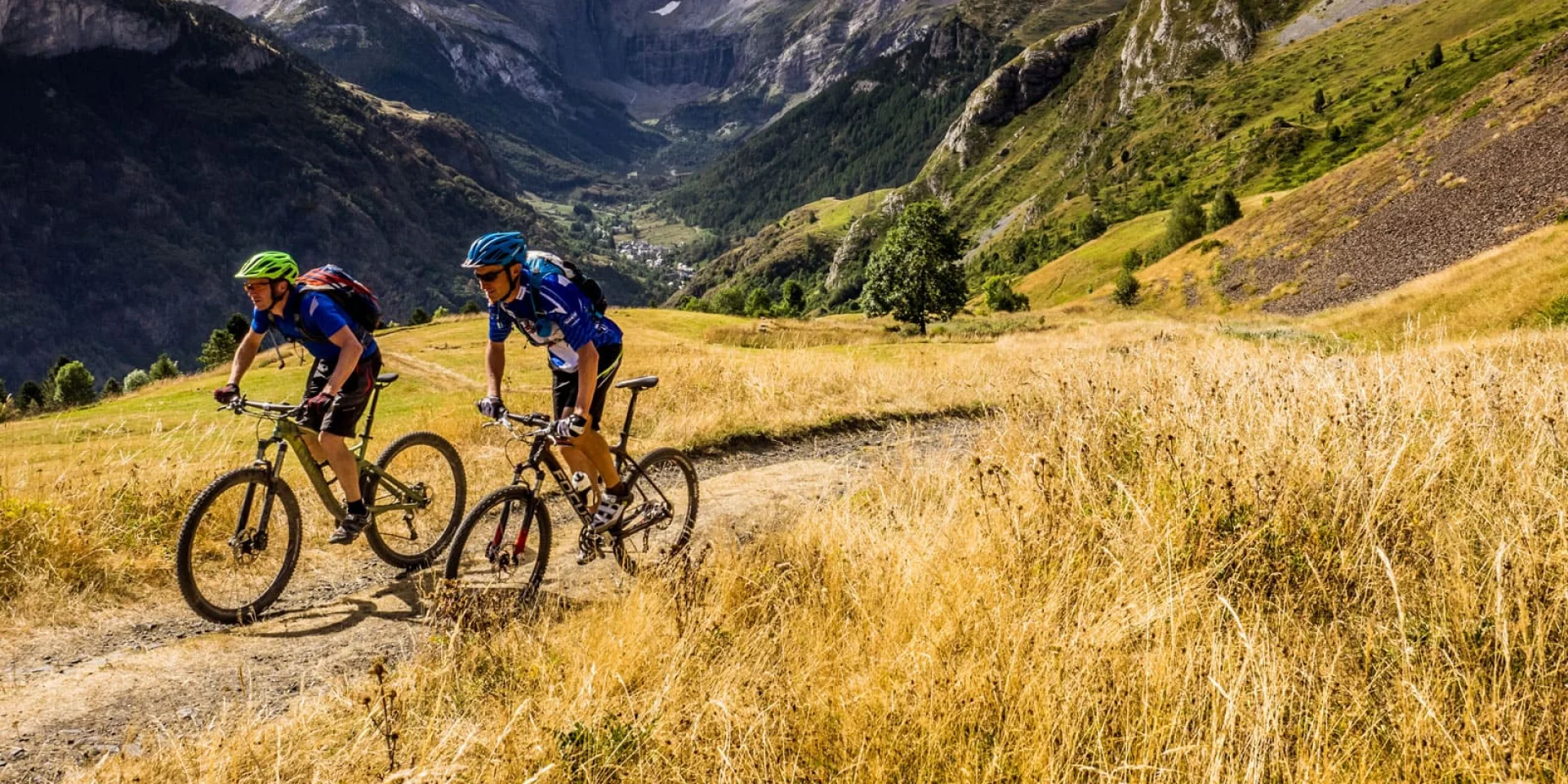
Mountain biking in Gavarnie
|
Altamonta mountain bike
|
With 792km of trails, the Altamonta area, stretching across all the valleys of Gavarnie, is the largest domain dedicated to cross-country skiing. Its 52 marked trails invite beginners and enthusiasts alike to explore.
Mountain biking in Gavarnie
|
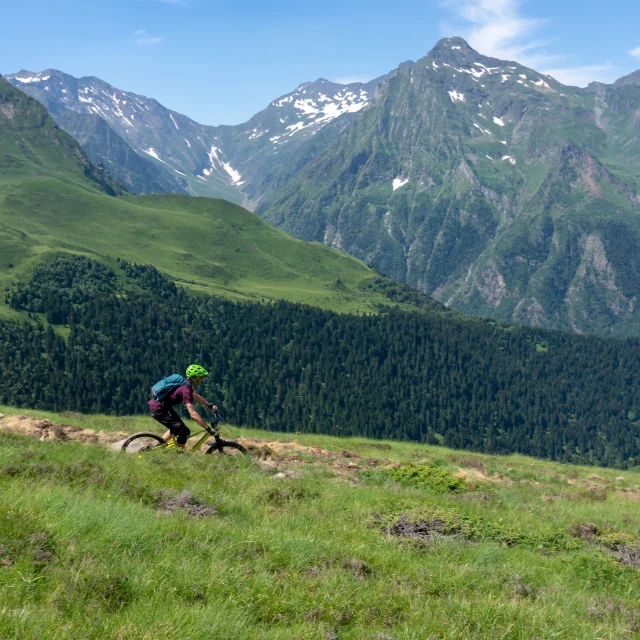
Families will love the accessible loops around Lourdes and the tranquility of its lake, as well as the chance to climb to the crests of the Col de Couraduque and the Soulor, from where spectacular panoramas open up, from Pau to the first 3,000m of the Pyrenees. Other circuits, just as accessible, reveal the rich thermal heritage of Cauterets or the remains of the Château de Sainte-Marie, overlooking Luz-Saint-Sauveur.
For the more experienced, some routes can cover distances of up to 37km.
53 runs
– 9 very easy runs
– 13 easy runs
– 2 medium runs
– 18 difficult runs
– 11 very difficult runs
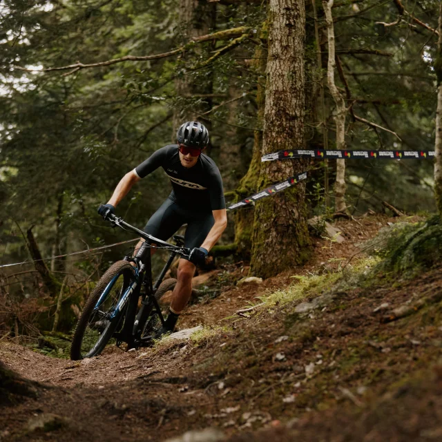
Renowned for its cross-country riding, the AltaMonta region is no stranger to enduro enthusiasts. Some of the more technical routes are specially designed for experienced riders, with the majority of them classified as difficult to very difficult.
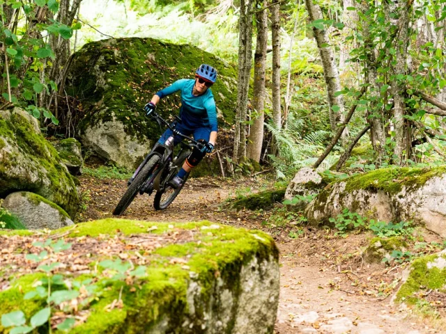
Mountain biking at Luz Altamonta
|
The effort required is amply rewarded by spectacular views: whether over the plain ofArgelès-Gazost, the hanging villages of the Pays Toy or, even more impressively, the panoramas at the gates of Gavarnie facing the cirque. Beginners are not left out: two routes offer a gentle introduction, between the summer pasture barns and the shady paths of the Lienz forest.
14 trails – 161 km
– 1 very easy trail
– 1 easy run
– 9 difficult runs
– 3 very difficult runs
To discover
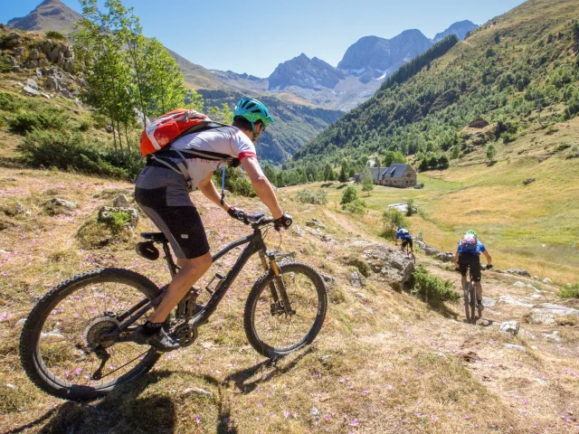
Three hours of effort, 22 km and 1,000 m of ascent, for an unforgettable reward: the most beautiful view of the Cirque de Gavarnie. From the village of Gèdre, it doesn’t take long for the first hairpin bends to get your legs going – some of them as steep as 21%. The narrow road climbs up to Saugué, gradually revealing a vast plateau dotted with barns.
At the entrance to the plateau, the Gavarnie cirque rises up in the distance, towering 1,500 metres above the landscape. The path winds its way through the mountain pastures, offering a breathtaking panorama: from this height, the village of Gavarnie seems tiny, as if set in a scale model.
Up here, you can admire in silence the stone giants that tower to over 3,000 metres. Then the path plunges down into the valley, crosses the river Gave and ends in the cool of the forest, until you return to peace and quiet.
New in 2025
Luz-Saint-Sauveur continues to transform the banks of the Bastan into a pleasant promenade, following the gentle course of the water. This picturesque and accessible route is popular with families who love to stroll along it.
A mirror of water lined with pontoons, hammocks for relaxing in the open air, picnic tables, and now a pumptrack with two tracks featuring bumps and banked bends.
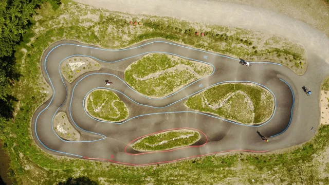
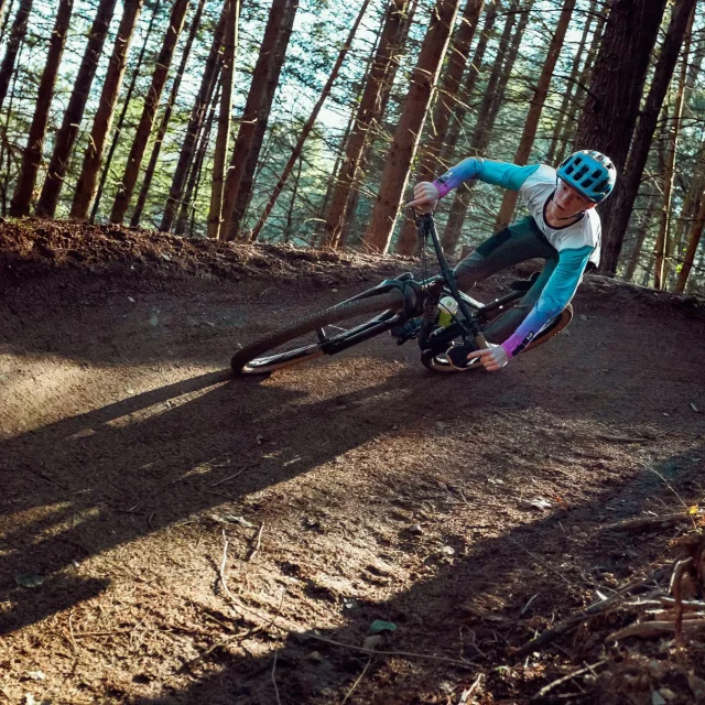
Pump Track
|